A “Super El Nino” May Be Coming. Here Is What It Could Mean for NorCal This Winter.
California just wrapped up a dry winter, and forecasters are already setting their sights on what comes next. The early signs are pointing toward a very strong El Nino developing by winter 2026-27, and that has real implications for Northern California’s rain season.
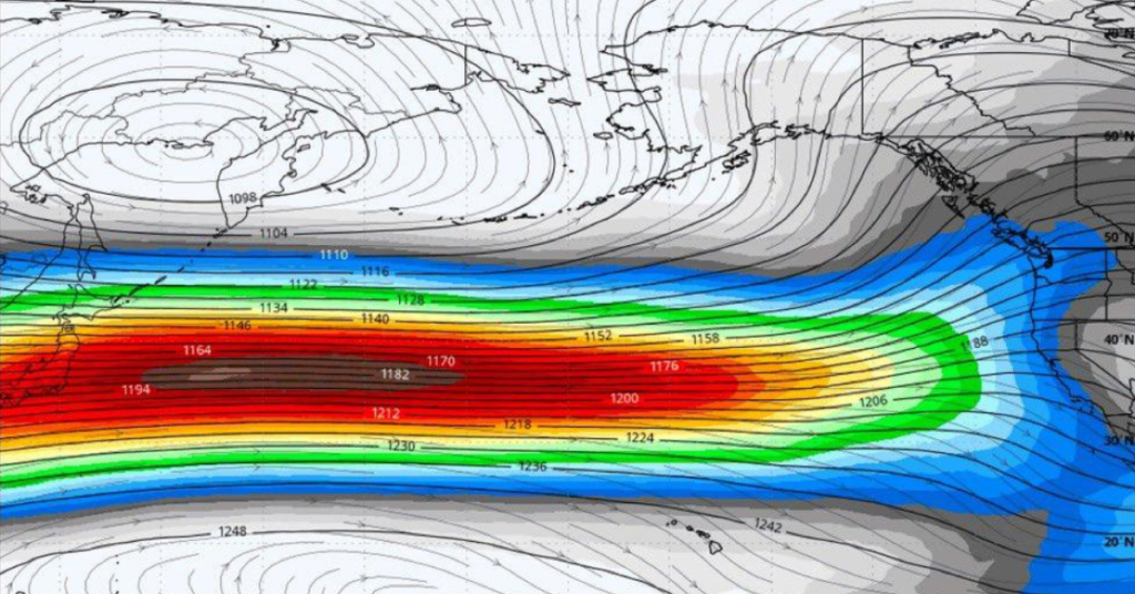
Here is the short version of how it works. El Nino occurs when sea surface temperatures across the equatorial Pacific run warmer than normal. That warmer ocean drives changes in the jet stream and storm tracks, which typically means more rain for California and the Southwest. La Nina, the opposite phase, tends to bring drier conditions, which is what played out this past winter.

What forecasters are watching right now is a Kelvin wave, a mass of unusually warm water moving eastward about 100 to 200 meters below the surface of the Pacific. Early April data showed that water running roughly five degrees Celsius above normal. When it upwells off South America in the coming weeks, it is expected to trigger El Nino conditions that could intensify into the very strong category, meaning sea surface temperatures more than two degrees Celsius above normal.
Only three winters in recorded history have qualified as very strong El Nino events: 1982-83, 1997-98, and 2015-16. Two of those were historically wet for Northern California. Sacramento received more than 34 inches of rain in 1982-83. But 2015-16, also a super El Nino year, came in below average, which is a useful reminder that the sample size is tiny and nothing is guaranteed.
What forecasters do agree on is that El Nino years trend wetter than normal in California across the board. Whether this one lives up to the hype remains to be seen.