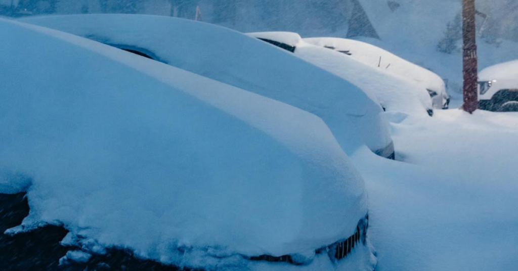
A Major Winter Storm Could Drop Up to 100 Inches of Snow in the Northern California Mountains
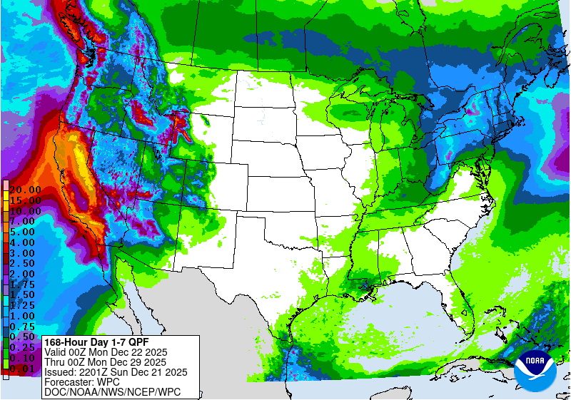
California’s mountains are gearing up for a long, active stretch of winter weather, with the most impactful snow expected from midweek through Christmas—and more storms lined up afterward.
The first part of the pattern, through the weekend and into Monday, looks wet and windy. Snow levels will stay relatively high, especially around Lake Tahoe, meaning lower elevations may see heavy, dense snow or even mixed precipitation. Higher terrain will still pick up snow, but this phase is more about building coverage than chasing soft turns, with gusty winds likely affecting exposed ridgelines and lifts.
The real shift arrives late Tuesday. Cooler air moving into the Sierra will drive snow levels down into the mid-mountain zone just in time for Christmas. That drop means better-quality snow and more consistent accumulation across resorts. This window is shaping up to be the most productive of the week, with stronger snowfall rates and conditions improving noticeably as temperatures fall.
Some resorts could see eye-popping totals if the forecast holds. Kirkwood is currently projected to receive roughly 56 to 100 inches of snow by Saturday night. Mammoth Mountain could pick up 44 to 81 inches, with the bulk falling after Tuesday night. Around Tahoe, Palisades Tahoe may see 38 to 69 inches, while Sugar Bowl is forecast for 40 to 72 inches over the same period. Even lower-total resorts like Heavenly and Northstar could still see 20 to 45 inches.
After Christmas, the storm track doesn’t shut off. Forecasts continue to point toward above-average precipitation statewide, keeping the door open for additional rounds of mountain snow into next weekend. While snow quality will still depend on storm timing and snow levels, the overall trend favors a much healthier winter outlook for California’s high country.