How Long Will the Fog Linger in Northern California? You Might Not Like the Answer.
Northern California is heading into the holidays under a blanket of dense tule fog, and forecasters aren’t sure when it will lift.
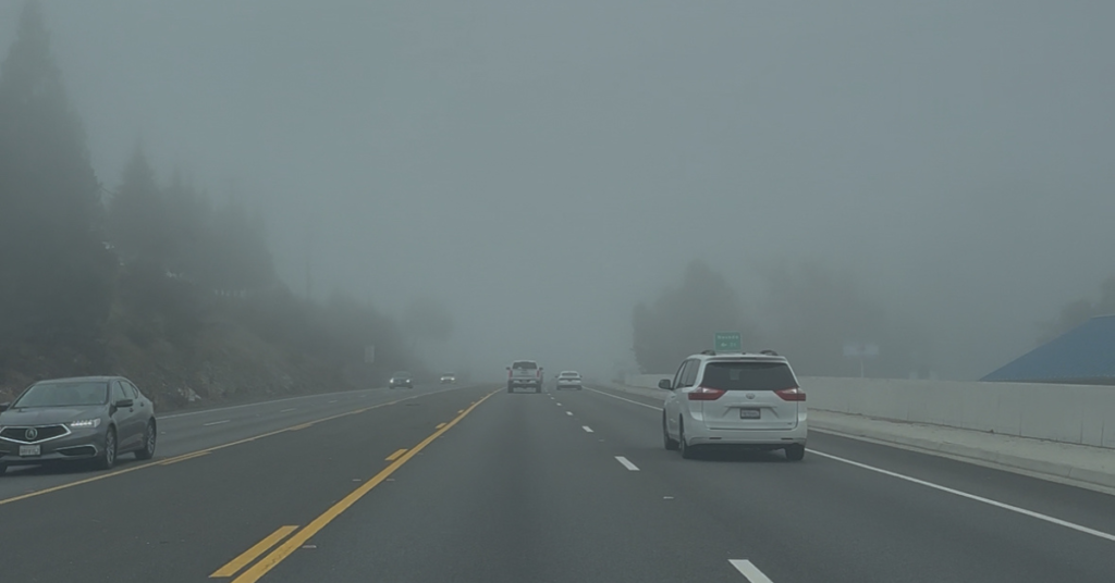
The stubborn fog has been socking in much of the Central Valley, Delta, and even coastal-adjacent lowlands, creating reduced visibility, chilly days, and a stark contrast with the sunny, warmer foothills and Sierra Nevada elevations just above the cloud layer.
Meteorologists say the setup began in late November, when an unusually wet fall saturated the ground across Northern California. Sacramento alone saw more than 5 inches of rain between September and November, its wettest November since 2012. When the rain stopped around Nov. 21, high pressure quickly moved in, bringing clear skies, calm winds, and cold overnight temperatures.
Those conditions formed the “perfect recipe” for radiation fog. Moisture near the surface condensed, temperatures dropped into the 40s and low 50s, and the resulting inversion trapped cold air below and warm air above. The foothills and Sierra have since basked in sunshine and unseasonably warm highs in the 50s and 60s, while the valley floor has remained locked in freezing clouds.
Breaking the inversion will require a strong weather system capable of mixing the atmosphere — cooling the higher elevations and warming the lower ones. Forecasters say a system may arrive around Dec. 17, but it’s unclear whether it will be strong enough to scour out the fog.
Until then, Northern Californians may be looking at the rare possibility of a “white Christmas” — not snow, but a thick, lingering blanket of tule fog stretching from the Valley to the coast.