Northern California’s First Taste of Fall May Bring Sierra Snow
After a long, dry summer, the National Weather Service is finally using two words we haven’t seen in months: snow level.
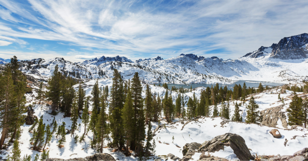
A storm system moving into Northern California this week marks the season’s first taste of fall weather, with the potential for snow dusting the highest peaks of the Sierra Nevada. Forecasters predict snow levels between 9,500 and 10,000 feet Tuesday night into Wednesday, high enough to blanket more than a dozen summits in the Tahoe region.
That includes Mount Rose (10,776 feet), Freel Peak (10,881 feet), Jobs Peak (10,638 feet), and Slide Mountain (9,702 feet). Only two Sierra passes are high enough to be affected — Tioga Pass (9,945 feet) and Sonora Pass (9,624 feet).
Don’t pull out the skis just yet, though. Lake Tahoe-area resorts aren’t expected to open until November, depending on snowmaking and early-season storms. Higher-base mountains like Mt. Rose Ski Tahoe and Mammoth Mountain are typically the first to kick off the season, with most resorts following by mid-December.
For now, this system is less about powder days and more about the long-awaited shift in weather. After months of heat and wildfire smoke, the cool air and chance of Sierra snow are welcome signs that fall has finally arrived in Northern California.