Series of Storms Forecast to Bring Rain, Wind, and Up to 8 Feet of Snow in the NorCal Mountains
Northern California is shifting from a serene Super Bowl weekend and sunny start to the week to a dynamic weather pattern beginning Wednesday. The next 7 days are forecast for widespread rain, gusty winds, and substantial snowfall in the Sierra, disrupting the recent calm.
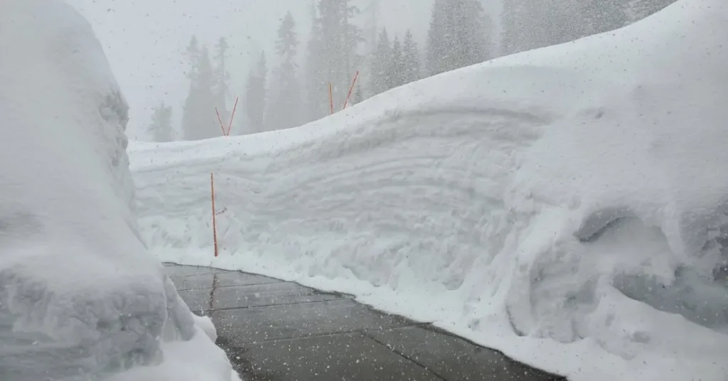
In fact, based on the National Weather Service’s forecast, Lassen Volcanic National Park could see 8 feet of snow in the next 7 days.
The weather pattern takes a notable turn just in time for Valentine’s Day, as the dissipation of high pressure allows a series of storm systems, potentially linked to atmospheric river moisture, to sweep across the region.
Confidence is increasing that yet another wet pattern will begin affecting California late next week as a strong jet stream roars across the Pacific, bringing atmospheric river potential.
— Colin McCarthy (@US_Stormwatch) February 10, 2024
Enjoy this next week to dry out. Stay tuned. pic.twitter.com/kMwRVTmHtj
The forecast highlights three key periods of concern: Wednesday night into Thursday morning, Saturday night into Sunday morning, and the final wave from Sunday night into Tuesday. This sequence suggests a continuation of unsettled weather through President’s Day weekend and into the following week.
The initial storm on Wednesday is anticipated to bring scattered showers by dawn, escalating into heavier rain and snow by the afternoon and evening. Wind gusts could reach 25-30 miles per hour in valley areas, with even stronger gusts in the northern Sacramento Valley and elevated regions.
Here's a look at the forecast rain and snow amounts across the region for the first system expected to move into the region tomorrow-Thursday. Expect minor rain impacts and moderate impacts from moderate to heavy snow. Heaviest snowfall is expected above 6,000 feet. #CAwx pic.twitter.com/pyselyMjtX
— NWS Sacramento (@NWSSacramento) February 13, 2024
A Wind Advisory and a Winter Storm Warning have been issued in regions throughout NorCal, including high initial snow levels that will drop overnight, complicating travel across the Sierra with slick roads and chain controls.
Following a brief respite on Thursday and Friday, the subsequent storms over the weekend and into early next week promise similar impacts, with additional rounds of heavy rain, gusty winds, and lowering snow levels. These conditions encourage indoor plans for President’s Day weekend due to likely travel disruptions and outdoor activity limitations.
Got weekend plans? Additional rounds of precip bringing widespread moderate rain and heavy mountain snow is expected this weekend into early next week. Heaviest is expected SAT, & then again MON, with a brief lull possible sometime Sunday. Be sure to plan accordingly! #CAwx pic.twitter.com/4xafDJXeHb
— NWS Sacramento (@NWSSacramento) February 13, 2024
Cumulatively, the next seven days could bring 2-3 inches of rain to the valley and up to 5 inches in certain foothills, while the Sierra may see several feet of snow. Donner Summit is expected to see up to 3 feet of snow during the week, while the Sonora Pass could see up to 6 feet.
Remember to be safe while traveling this next week, especially in high-elevation areas. Stay safe, NorCal!