Staggering Rain Totals Pile Up as Pineapple Express Soaks Redding Area
Relentless rain continues to soak Redding and the surrounding Shasta Cascade region, with totals stacking up quickly as multiple storms move through Northern California.
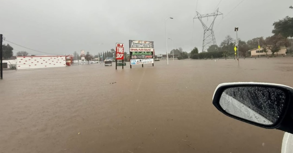
Over just 48 hours from Dec. 19 to Dec. 21, parts of Shasta County were drenched by up to 8 inches of rain. Even the driest areas picked up at least 2 inches, while gauges showed 8 inches at Whiskeytown, 3.8 inches near Shasta Lake, 5.7 inches on Oak Mountain near Big Bend, and 4.5 inches near Sims along Interstate 5.
The rain isn’t done yet. Forecasters say another 7.5 inches could fall on Redding alone between now and Christmas, pushing totals well into double digits for many locations. A flood watch remains in effect through Friday, Dec. 26, as saturated ground and swollen creeks heighten the risk of flooding.

Warm storms will continue through early week, keeping snow levels high and allowing rain to run directly into streams and rivers. High temperatures in Redding are expected to reach the low-to-mid 50s, with overnight lows staying in the 40s.
By midweek, the pattern turns colder. Snow levels could drop to around 4,500 feet on Christmas Eve, bringing snow to the surrounding mountains. Even then, Redding is expected to pick up another 4.5 inches of rain between Wednesday and Friday, with daytime temperatures staying in the 40s through Christmas.
Conditions may finally improve next weekend as storms shift north. Until then, officials urge residents to remain cautious, avoid flooded roads, and stay alert as water levels can rise quickly during prolonged heavy rainfall.