‘Travel is Highly Discouraged’: Incoming Storm Could Bring 30 Inches of Snow to the Sierra
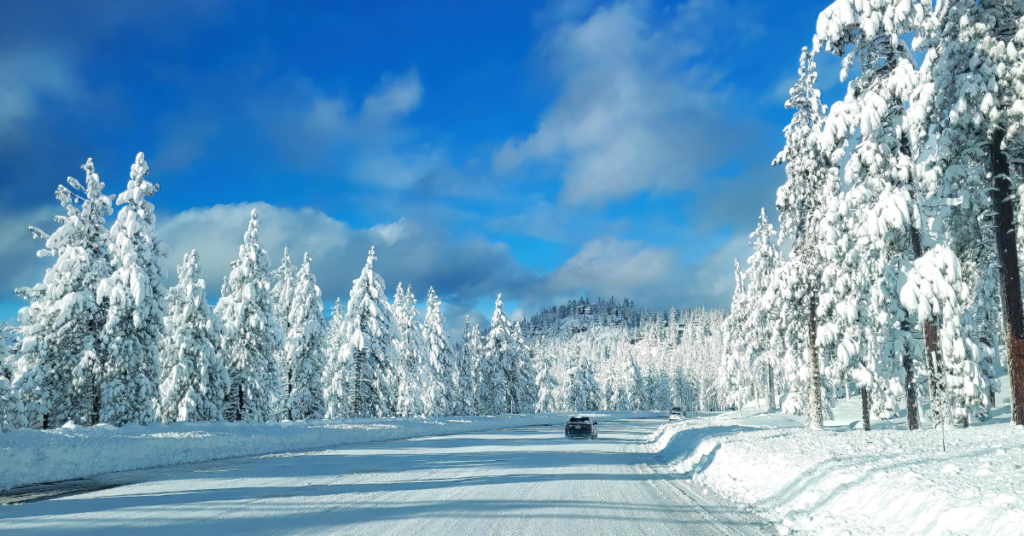
The National Weather Service issued a weather warning this week, advising against travel to and from the Sierra Nevada region over the weekend due to an impending storm expected to unleash heavy snowfall.
The weather service strongly advised against traveling during a series of winter storm warnings for a sizable portion of the Sierra Nevada, including the Interstate 80 and Highway 50 corridors.
“We’ve upgraded the Winter Storm Watch to a Winter Storm Warning,” wrote the NWS on Twitter. “The Warning is in place from 12 PM Friday-8 AM Sunday for areas above 5000 ft. Moderate to heavy snow is expected, with heaviest snowfall occurring overnight Friday into Saturday. Travel is highly discouraged!”
In the western slope of the northern Sierra Nevada, a winter storm warning was in effect from 6 p.m. Friday to 8 a.m. Sunday, with projections of 1 to 3 feet of fresh snow, particularly heavy on Friday night into Saturday morning. This area includes critical routes such as I-80 over Donner Pass and U.S. 50 over Echo Summit, with chain controls and full closures possible during the storm.
A weather system will bring Valley rain and moderate to heavy mountain snow today through Sunday. The heaviest snow is expected tonight into early Saturday. Be prepared for slick roads, mountain travel delays, and chain controls. Road conditions: https://t.co/6jnhwJwcfC #cawx pic.twitter.com/QWnAJFhWNg
— NWS Sacramento (@NWSSacramento) March 22, 2024
Further north, a winter storm warning covered a portion of the far northern Sierra, including Lassen Volcanic National Park, from noon Friday to 5 a.m. Sunday, with snow accumulations expected to reach 24 to 30 inches.
The NWS has forecasted snowfall ranging from 3 to 8 inches around Lake Tahoe over three days, with higher elevations above 7,000 feet likely to receive about 2 feet of snow.
In the central Sierra, including Yosemite National Park, a winter storm warning was issued from 5 p.m. Friday to 5 p.m. Sunday, with snow accumulations expected to reach 2 to 3 feet at higher elevations, posing significant travel challenges and potentially impacting evening commutes.
Winter isn’t quite finished yet!