Warm Atmospheric River to Drench Northern California This Week
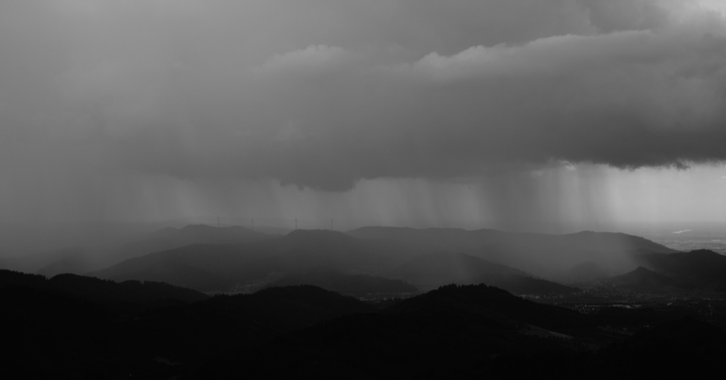
Another round of wet weather is set to sweep across Northern California early this week, with rain lingering through early Wednesday, according to the National Weather Service.
Forecasters say the North Bay will see the biggest totals, with 1 to 3 inches possible in Sonoma and Marin counties. Rainfall amounts are expected to taper off farther south of the Golden Gate. After midweek, conditions are projected to shift toward warmer and drier weather.
The system is tied to a broad atmospheric river that will also brush the Sierra Nevada, where snow piled up during last week’s unusually intense five-day burst. Despite a generally warm winter, the UC Berkeley Sierra Snow Lab recently logged one of its largest short-term snow accumulations on record.
Scattered to widespread rainfall is expected across interior #NorCal for much of the day today. Heaviest rainfall is expected across the mountains, foothills, and far northern portions of the Sacramento Valley ?#CAwx pic.twitter.com/uYAZndkULQ
— NWS Sacramento (@NWSSacramento) February 24, 2026
Heavy rain falling on fresh snow can sometimes trigger flooding, as runoff surges into rivers and streams. But this storm appears less threatening than it might sound. Without a strong low-pressure system attached, much of the moisture is expected to arrive as humid air rather than relentless downpours.
In many high-elevation areas, the existing snowpack should absorb a portion of the rainfall before refreezing, reducing widespread flood risk. The greatest concern remains along the North Coast and in some Sierra communities where precipitation rates could be higher.
Backcountry users, however, should pay attention. Rain on snow can rapidly destabilize slopes, increasing the likelihood of wet slab avalanches.
In short: beneficial rain for lower elevations, fresh moisture for the mountains, and a reminder that Sierra conditions can change quickly.