Back-to-Back Storms Could Drop Up to Two Feet of Snow in Lake Tahoe
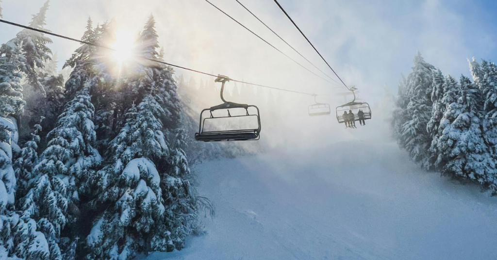
After a painfully dry start to winter that pushed ski season into December, the Lake Tahoe region is finally catching a break. A series of back-to-back snowstorms is lining up this weekend, bringing much-needed snowfall to resorts and the surrounding mountains.
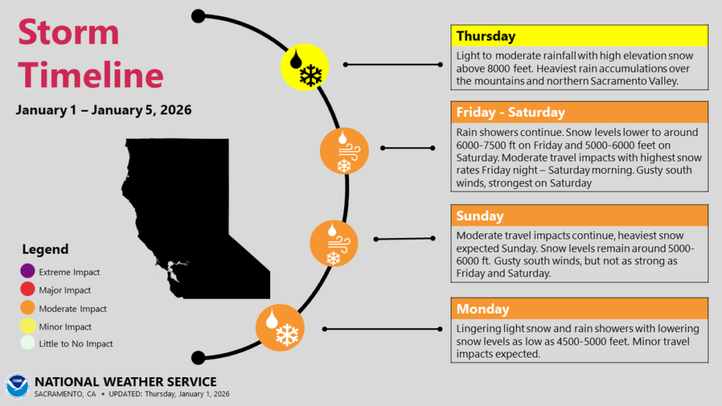
Meteorologists with the National Weather Service say the snow is expected to ramp up Friday evening and continue through the weekend. Rather than one single storm, the pattern includes a stronger system followed by several smaller waves that should steadily add to totals.
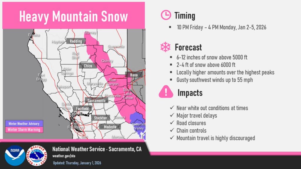
Forecasts call for 1 to 2 feet of snow above 7,000 feet, with around a foot at 6,000 feet. At lake level, snowfall is expected to range from 4 to 8 inches by the end of the weekend. This new snow will stack on top of the roughly 60 inches that fell during the powerful Christmas storm in December.
Colder air moving in behind the storms should help lock in the fresh snow, improving conditions that were plagued earlier in the season by warm temperatures and rain.
Despite the recent progress, the Central Sierra snowpack is still sitting at about 70% of average, with most of the season’s accumulation arriving after December 19.
For travelers and powder chasers, forecasters recommend getting over the passes before the main storm arrives Saturday morning, as snow-covered roads and reduced visibility could make weekend travel difficult.