California Launches New Wolf Tracking Map to Prevent Livestock Conflicts
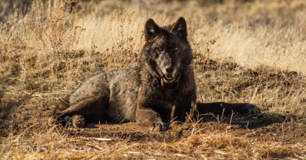
The California Department of Fish and Wildlife (CDFW) has launched a new interactive map showing the general locations of radio-collared gray wolves in the state. The goal is to give livestock owners a heads-up when wolves may be nearby, allowing them to proactively implement nonlethal methods to prevent conflicts.
The map, which updates daily using GPS collar data, displays wolf locations as four-and-a-half square mile hexagons to protect the animals’ safety while still informing ranchers. While not all wolves are collared, the system offers a useful tool for predicting movement patterns.
“Coexistence sometimes requires trying new things,” said Amaroq Weiss, senior wolf advocate at the Center for Biological Diversity. “I’m hopeful that livestock operators will responsibly use the map to head off conflict.”
Wolf-livestock conflicts are extremely rare in California. In 2024, confirmed or probable wolf-related losses made up just 0.009% of the state’s livestock. Research shows nonlethal measures like range riders, guard animals, and carcass removal are more effective than lethal control, which can destabilize wolf packs and lead to increased predation.
The reemergence of wolves in California began with OR-7, a radio-collared wolf from Oregon who entered the state in 2011. Since then, several packs have been established.
Wolves remain protected under both state and federal endangered species laws, and it is illegal to kill them unless in defense of human life.
To view the map or learn more about coexistence strategies, visit wildlife.ca.gov.