Lake Oroville Jumps 23 Feet in Three Days as Storms Dump Heavy Rain
A powerful series of atmospheric river storms continues to dramatically reshape water levels across Northern California, with Lake Oroville seeing one of the most rapid rises in the state.
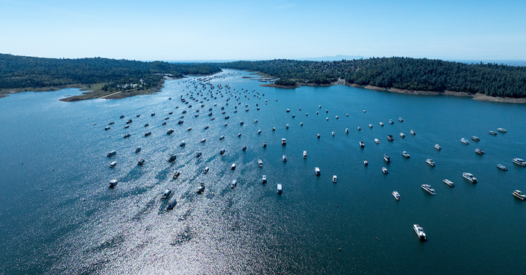
As of Tuesday morning, Lake Oroville climbed to 789 feet, marking a 23-foot increase in just three days. The surge comes after intense rainfall across the Northern Sierra, where storms dumped inches of rain and sent massive volumes of runoff into the reservoir.
At the height of the storm on Sunday and Monday, inflows into Lake Oroville exceeded 89,000 cubic feet per second—roughly equivalent to one Olympic-sized swimming pool pouring into the lake every second. While inflows have since eased, they remain elevated at more than 32,000 cubic feet per second as additional rain and runoff continue to move through the watershed.
According to data from the California Department of Water Resources, Lake Oroville is now sitting at 102 percent of its historical average for this time of year, a notable turnaround following a slow start to the winter season.
The rapid rise highlights the power of atmospheric rivers, which can deliver beneficial water supplies in a short period of time—but also increase flood risk downstream if storms stall or intensify.
Forecasters say additional storms could continue to influence reservoir levels across Northern California this week, keeping water managers closely monitoring inflows, weather conditions, and downstream impacts.