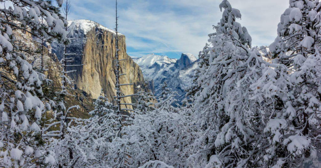
Up to 2½ Feet of Snow Expected as Winter Storm Targets Yosemite
A powerful winter storm is set to hammer parts of the central and southern Sierra this weekend, prompting the National Weather Service office in Hanford to issue a winter weather advisory early Thursday morning.
The advisory goes into effect at 1 a.m. Saturday and runs through 1 p.m. Sunday, covering Yosemite National Park, the Upper San Joaquin River region, Kaiser to Rodgers Ridge, and Kings Canyon National Park.
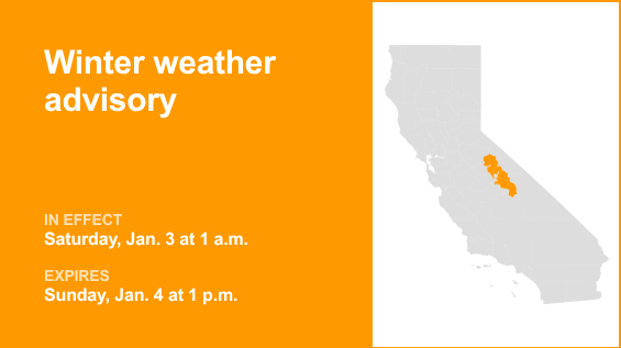
Forecasters warn of up to 28 inches of snow in higher elevations, with wind gusts reaching 40 mph. According to the NWS, travel during the storm could become “very difficult to impossible,” especially on mountain highways and passes.
Drivers heading into the Sierra are urged to slow down, assume icy conditions when temperatures hover near freezing, and check road conditions by calling 511 before leaving. Heavy snow and ice can also bring down trees and power lines, creating additional hazards.
If travel is unavoidable, the NWS recommends filling your gas tank, carrying winter emergency supplies, and letting someone know your route and expected arrival time. Motorists should also give snow plows plenty of space and only pass when visibility is clear.