Yosemite Under Winter Storm Warning as 75 MPH Gusts Headed for the Mountains This Week
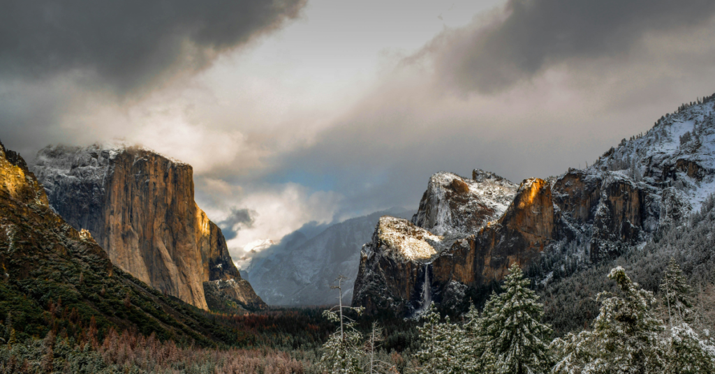
A winter storm warning is in effect for several major Sierra Nevada destinations, including Yosemite, Kings Canyon, Sequoia National Park, the Upper San Joaquin River corridor, and Kaiser to Rodgers Ridge. The National Weather Service issued the warning Monday morning, with impacts expected from Tuesday at 2 a.m. through Wednesday, April 22, at 5 p.m.
Snow accumulations of 3 to 5 inches are forecast above 7,000 feet, while the highest Sierra elevations could see 12 to 18 inches of new snow. Wind gusts along the Sierra crest may reach 75 mph, raising the risk of tree damage and dangerous road conditions.
The NWS warns that travel could range from very difficult to impossible, with hazardous conditions likely affecting both the Tuesday morning and evening commutes. Travelers who must head into the mountains are advised to carry emergency supplies including extra food, water, and a flashlight. Current road conditions are available by dialing 511.
If you’re planning a trip to any of these areas this week, check road conditions before leaving and consider postponing if the forecast holds. Tire chain requirements are common during Sierra storm events, so make sure your vehicle is prepared. For the latest closures and updates, Caltrans and the National Park Service websites are your best resources.